Zi Li
Description
In November 2022, the Humanitarian Technology Unit of the Japanese Red Cross and Disaster Management Institute, jointly conducted Japan’s first demonstration experiment on Real-time monitoring of tsunami evacuation status. This was carried out by using human flow data and AI acquired by a smartphone app, used in the Tsunami disaster prevention drill organised by the Cabinet Office in Nemuro City of Hokkaido.
Context
Japan is an archipelago situated along the Ring of Fire, which is known to be an area where several tectonic plates meet, making the country highly vulnerable to natural disasters such as earthquakes, tsunamis, and volcanic eruptions.
Past experiences –such as the Niigata Prefecture Chuetsu Earthquake and the Great East Japan Earthquake– have shown that victims and affected communities were unfortunately isolated during the disasters. Particularly, after the Great East Japan Earthquake and during 2016 Kumamoto Earthquake, issues related to evacuation at non-designated shelters were reported. Furthermore, if the disaster occurs in the middle of winter, it is important to quickly collect information on isolated evacuees, in order to quickly reflect it on the decision-making process of the different relief activities. Such as, the prevention of health damage from hypothermia.
As a response to these needs, the Japanese Red Cross’ Kumamoto hospital and Agoop, started discussions in 2018 about the application of people’s flow data in both emergencies and peacetime. Following this, in 2020 during Kumamoto Floods Response, people flow data provided by Agoop, supported the team of the hospital in their decision-making for a rapid response to the disaster. Followed by this, in 2022, the Damage Estimation of a Massive Earthquake along with the Chishima Trench and Japan Trench, were announced in order to continue the development of technology and data for assisting better affected populations at the time of a natural disaster.
Technical details & Operations
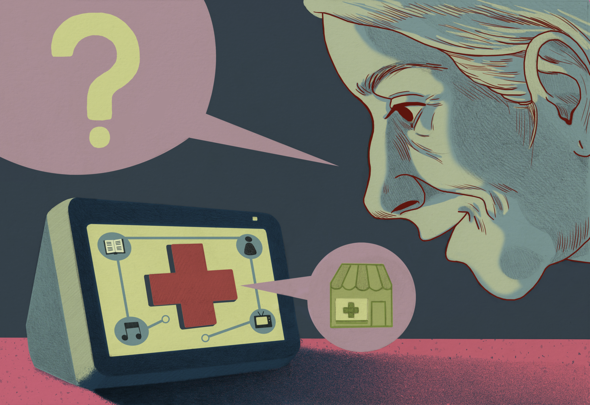
The experiment was conducted using a smartphone application that sends information on evacuation status.
The mobile app used for this experiment is called Walkcoin. This application can accumulate points by walking or by exchanging the accumulated coins for various payments. Participants were asked for the evacuation experiment to install the app as means to collect the data.The people flow data was collected from the smartphone application of users who had given consent. In addition, data did not acquire personal information since it mainly collected data on their location and was anonymous.
The information collected was then analysed by AI and projected in real time on a monitor installed at the disaster response headquarters.
The analysis was done from two perspectives, (1) Quick identification of evacuation sites by real-time anomaly detection technology from people’s flow, and (2) Post-mortem analysis of evacuation behaviour (traffic) using people flow data.
By doing this analysis, the relief team can improve their decision-making process with real time information based on the needs of the population during the disaster.
Deployment & Impact
By conducting this demonstration experiment in conjunction with evacuation drills, local authorities will be able to analyse the evacuation behaviour of evacuation drill participants and make use of it when formulating evacuation plans. In addition, the smartphone app “Walkcoin” distributed to residents is a pedometer app, and while it is used to promote health during normal times, data collection will be used for analysis in fields such as transportation, tourism, and health care.
This experiment had the following findings. Firstly, some of the people who installed the mobile app stayed after the tsunami alert. This means, they were not able to participate in the drill since they had work and they could not leave their fishing boats. Secondly, some of the participants were at risk of tsunami during the evacuation since the evacuation route is expected to be flooded within 30 minutes. Thirdly, the disaster response headquarters which is away from the tsunami flooded areas was able to monitor the evacuation status of the participants who installed the mobile apps. This means that the local authorities have the means to improve the evacuation route, timing and the evacuation place based on the digital evidence.